GIS Mapping: How Drones & AI Help Engineers Speed Up Bakken Approvals
GIS Mapping: How Drones & AI Help Engineers Speed Up Bakken Approvals
In the fast-paced energy sector of North Dakota, GIS mapping has become the backbone of successful project execution. As exploration and infrastructure demands intensify across the Williston Basin, operators cannot afford lengthy regulatory delays or weeks of manual field surveys. The timeline from project conception to final permitting dictates profitability.
By combining advanced GIS mapping with autonomous drones and artificial intelligence (AI), engineering teams are drastically shrinking the time it takes to get boots on the ground. Crucially, this technology is not replacing human expertise; instead, it serves as a high-powered assistant to licensed engineers and surveyors, enabling them to clear regulatory hurdles and secure project approvals faster than ever before.
The Power of Modern GIS Mapping in the Bakken
Traditional surveying once relied on manual data collection and fragmented paper maps. Today, modern GIS mapping integrates real-time environmental, geographical, and legal data layers into a single digital ecosystem. For Bakken operators, this means having instant visibility over topography, existing pipeline networks, wetlands, and property boundaries.
When engineering teams leverage centralized data platforms, such as the official state resource North Dakota GIS Hub Portal, they gain access to critical statewide geospatial data. This foundational information allows engineers to spot potential workspace conflicts, structural risks, or environmental constraints before a single field crew is dispatched.
Drones and AI: The Ultimate Assistants for GIS Mapping Teams
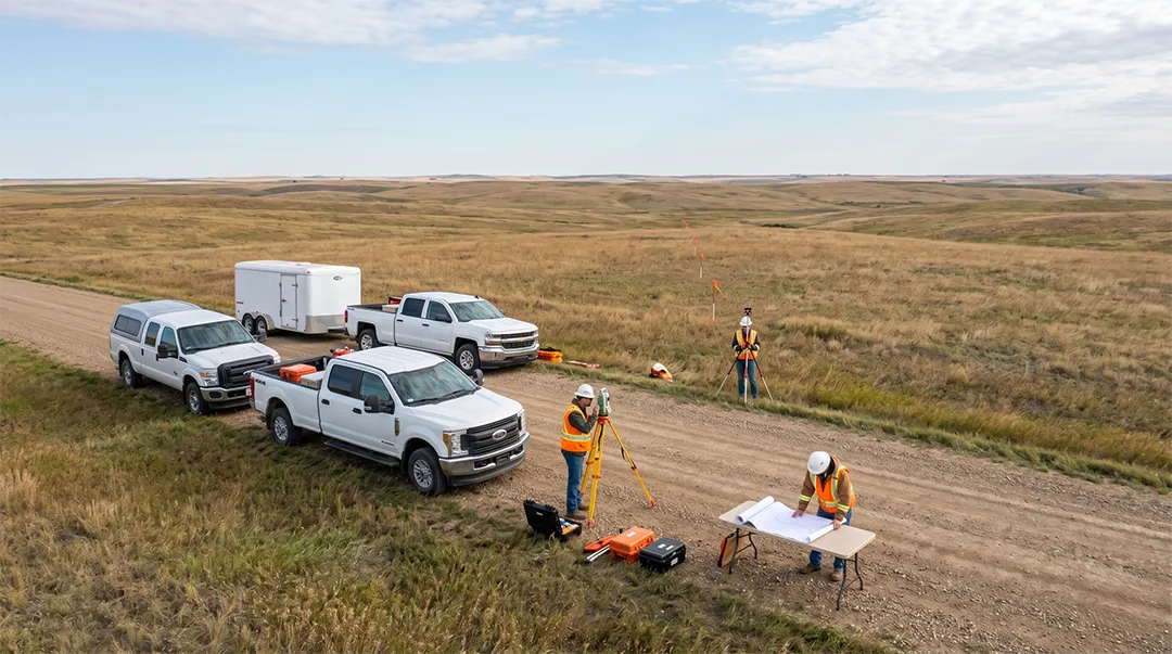
A common misconception is that autonomous drones and AI software operate independently to design oil and gas infrastructure. In reality, these tools function as force multipliers for human specialists.
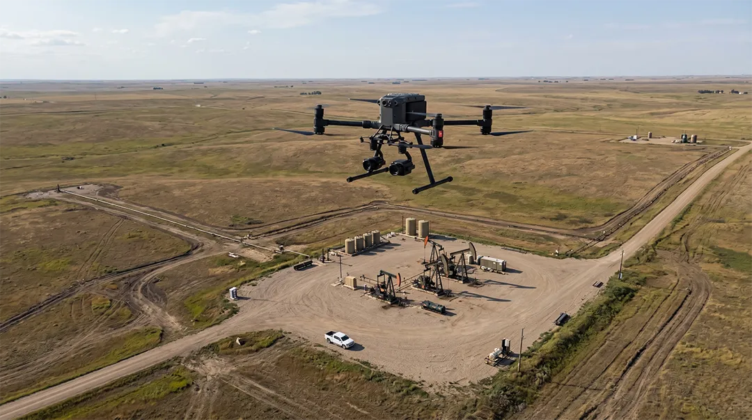
Drones equipped with advanced LiDAR (Light Detection and Ranging) and photogrammetry sensors can safely traverse rugged, inaccessible terrain in a fraction of the time it would take a ground crew. Once the drone collects millions of data points, AI algorithms step in to handle the tedious data cleaning. The AI automatically filters out noise such as dense vegetation, tall grass, or moving vehicles to reveal the true bare-earth topography.
By letting technology handle raw data processing, surveying teams can bypass weeks of manual drafting and focus their efforts on precision GIS mapping applications, structural analysis, and strategic layout designs.
How Advanced GIS Mapping Speeds Up Regulatory Permitting
Securing a permit from state authorities requires absolute compliance and transparent data. When submitting plans to regulators like the North Dakota Industrial Commission (NDIC) Oil and Gas Division, having verified data from an optimized GIS mapping workflow eliminates guesswork and reduces the likelihood of application rejections.
Regulators look for precision. If an environmental risk or property line dispute is overlooked during the planning phase, the review process stalls. By utilizing drone-assisted geospatial data, engineers can present highly accurate, interactive digital twins of the project site to state officials, proving that every environmental and safety constraint has been proactively addressed.
Streamlining GIS Mapping for Pipeline Routing and Well Sites
For complex infrastructure developments like pipeline routing, unexpected topographic obstacles or soil erosion hazards can stall a project for months.
[Drone Aerial Survey] ➔ [AI Data Filtering & Point Clouds] ➔ [Engineers Verify GIS Layers] ➔ [Fast-Track Regulatory Approval]
Using predictive spatial analytics within a geographic information system, engineers can run automated route simulations. The software evaluates hundreds of potential paths, factoring in slope, crossing restrictions, and existing utility corridors to highlight the safest, most cost-effective option. The engineering team then refines the route, ensuring the project moves seamlessly into the construction phase.
Why Human Expertise Still Dictates GIS Mapping Success
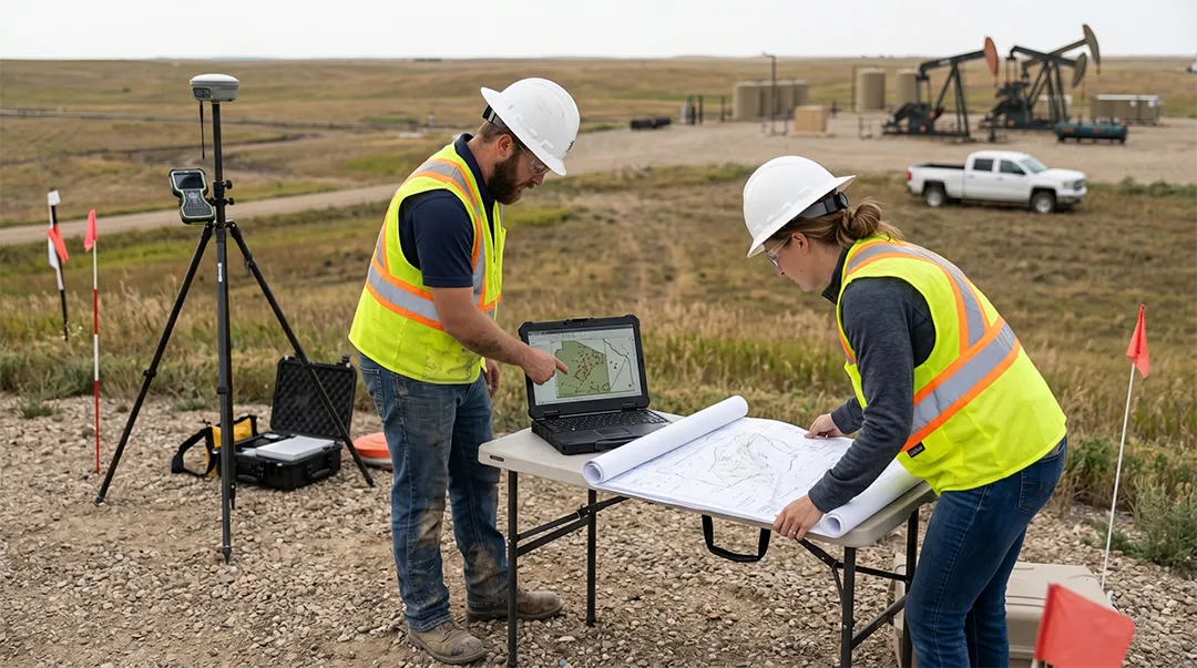
While automated software and aerial drones provide unparalleled speed, human oversight remains irreplaceable. AI can clean a point cloud, and drones can capture high-resolution imagery, but they cannot interpret local zoning variances, navigate complex state statutes, or sign off on legally binding plats.
Certified professionals must supervise and validate every layer of GIS mapping data. Experienced surveyors cross-reference digital data with historical county records, often utilizing specialized land abstracting research to guarantee that subsurface boundaries and surface titles are flawlessly aligned. Technology accelerates the workflow, but human accountability ensures legal validity and structural safety.
Optimize Your Next Project with B.J. Kadrmas GIS Mapping Services
Navigating the logistical and regulatory complexities of the Bakken requires an engineering partner that blends cutting-edge technology with deep regional experience.
We provide comprehensive GIS mapping services tailored specifically to the needs of the oil and gas industry. Our team utilizes advanced unmanned aerial vehicles (UAVs) and sophisticated spatial analysis tools to assist our clients through every stage of development. By optimizing data collection and processing, we help our clients minimize fieldwork costs, reduce environmental risks, and dramatically accelerate project approval timelines.
Conclusion
The future of energy infrastructure development on the Bakken relies on the seamless integration of technology and human talent. Implementing state-of-the-art GIS mapping, backed by autonomous drone data and AI processing, gives engineering teams the speed and accuracy required to secure regulatory permits without unnecessary delays.
Ready to streamline your next infrastructure project? Contact the team of experts at B.J. Kadrmas today to discover how our advanced surveying and spatial data solutions can fast-track your path to project approval.