Survey and GIS Mapping
Advanced mapping and surveying services integrating geographical and spatial data for precise project planning.
Advanced Land Surveying Techniques
Survey and GIS Mapping at B.J. Kadrmas Inc. incorporates advanced land surveying techniques to provide accurate and detailed representations of physical land characteristics. This service is essential for Midstream, Utilities, and Renewable energy projects, where precise land measurements and topographical data are crucial for planning and development.
Integration of GIS Technology
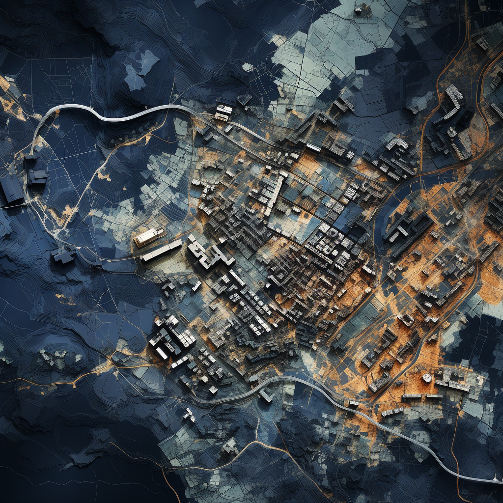
We employ Geographic Information System (GIS) technology to create comprehensive and interactive maps. GIS enables us to integrate various data layers, such as topography, land use, infrastructure, and environmental features, providing a multi-dimensional view of the project area. This technology is invaluable for visualizing and analyzing spatial data, aiding in decision-making and project optimization.
Supporting Infrastructure Development
Our Survey and GIS Mapping services play a pivotal role in infrastructure development for Midstream and Utilities projects. By accurately mapping pipeline routes, utility lines, and other infrastructure components, we help ensure that projects are designed efficiently and comply with regulatory requirements.
Facilitating Renewable Energy Projects
In the Renewables sector, our services are critical for site selection and development of projects like wind farms and solar arrays. We provide detailed terrain analysis, identifying optimal locations for installation based on factors like land elevation, sun exposure, and wind patterns. This information is vital for maximizing the energy production potential of renewable projects.
Environmental and Regulatory Compliance
Our mapping services also assist in environmental assessment and regulatory compliance. We identify environmentally sensitive areas, cultural heritage sites, and other critical factors that need to be considered in project planning. This ensures that our clients’ projects adhere to environmental regulations and sustainability practices.
Customized Mapping Solutions
Understanding that each project has unique requirements, we offer customized mapping solutions tailored to the specific needs of our clients in the Midstream, Utilities, and Renewables sectors. Whether it’s for a small-scale development or a large, multi-phase project, our GIS mapping is designed to provide actionable insights and support effective project management.
Real-Time Data and Analysis
Utilizing the latest GIS technology, we provide real-time data and analysis capabilities. This enables our clients to access up-to-date information, track changes over time, and make informed decisions quickly. Our dynamic mapping tools are designed to be user-friendly and accessible, facilitating easy interpretation and application of the data.
Collaboration and Integration
Our Survey and GIS Mapping services are not standalone offerings; they are integrated into the broader scope of our clients’ projects. We collaborate closely with engineers, environmental scientists, project managers, and other stakeholders to ensure that our mapping services align with and enhance the overall project goals.
At B.J. Kadrmas Inc., our Survey and GIS Mapping services for Midstream, Utilities, and Renewables are characterized by precision, technological sophistication, and customization. We are dedicated to providing our clients with the most accurate and useful spatial data and analysis, supporting the successful planning and execution of their diverse and complex projects.